北京中纜陽(yáng)光機(jī)電有限公司
關(guān)于我們
新聞資訊
業(yè)務(wù)領(lǐng)域
產(chǎn)品中心
人才招聘
聯(lián)系我們
工程承包
坦桑尼亞配網(wǎng)工程項(xiàng)目?簽約儀式
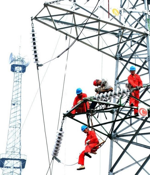
?埃塞俄比亞132kV變電站施工現(xiàn)場(chǎng)
贊比亞變電站考察
坦桑尼亞變電站工程驗(yàn)收
坦桑尼亞農(nóng)網(wǎng)項(xiàng)目貨物基地
?尼泊爾Salyantar變電站
坦桑尼亞Mbeya220kV變電站
坦桑尼亞氧氣公司變電站
?埃塞俄比亞YDH-1 132kV變電站
埃塞尼亞變電站施工
?水利發(fā)電
?風(fēng)力發(fā)電
太陽(yáng)能發(fā)電
?坦桑尼亞海纜工程項(xiàng)目
?美國(guó)關(guān)島重油發(fā)電項(xiàng)目
? ?菲律賓230kV 1x2500平方交聯(lián)電纜接頭安裝現(xiàn)場(chǎng)
坦桑尼亞配網(wǎng)項(xiàng)目桿上變壓器
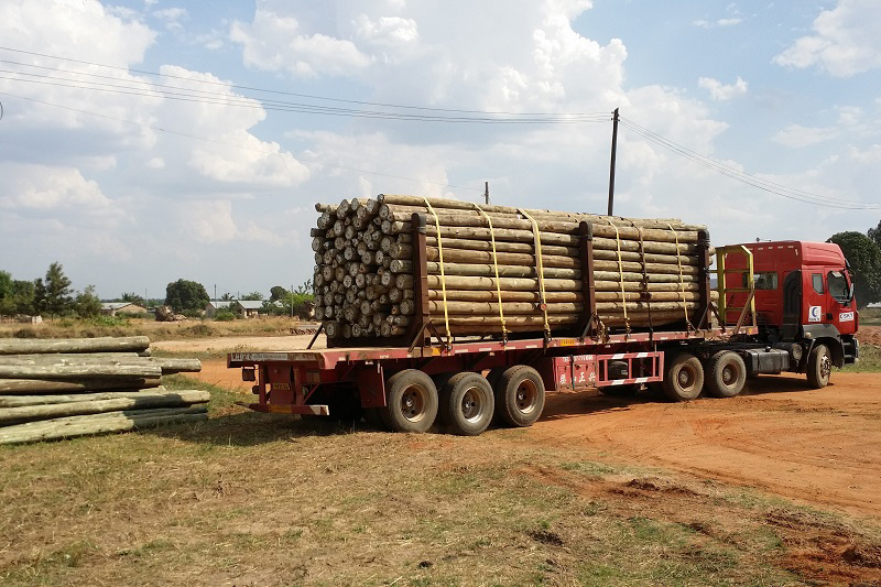
坦桑尼亞農(nóng)網(wǎng)項(xiàng)目卸貨
?坦桑尼亞配網(wǎng)項(xiàng)目木桿
?出口菲律賓海纜驗(yàn)收
? 巴西客戶(hù)驗(yàn)收出口導(dǎo)線(xiàn)
?出口菲律賓變壓器驗(yàn)收
?出口巴林10kV電纜裝運(yùn)
出口坦桑尼亞220kV變壓器裝運(yùn)?
出口菲律賓發(fā)電機(jī)組
?在坦桑尼亞大使館介紹項(xiàng)目進(jìn)展情況
坦桑尼亞農(nóng)網(wǎng)項(xiàng)目奠基儀式
?與坦桑尼亞電力公司進(jìn)行技術(shù)交流
與坦桑電力公司簽約
出口巴林電纜驗(yàn)收
?參加國(guó)際大型展覽
電力電纜
海底電纜
鎧裝電纜
?裸導(dǎo)線(xiàn)
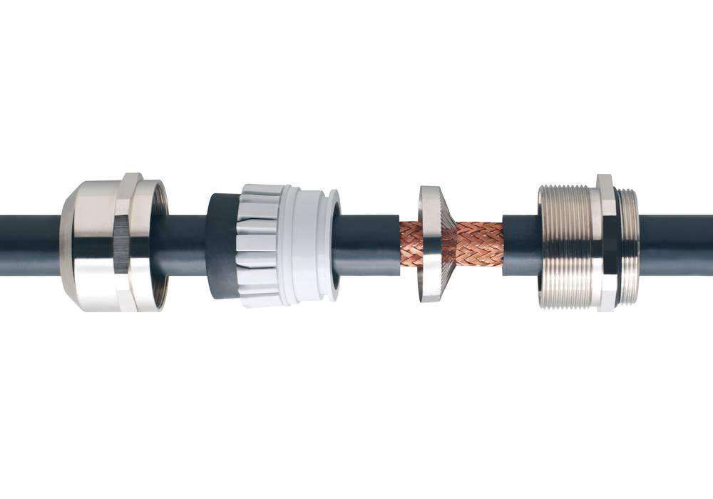
電纜附件
?電纜端子
?電纜接頭
變壓器001
變壓器002
變壓器003
變壓器004
變壓器005
變壓器006
變壓器007
變壓器008
Hipo全系列...
HipoJM海普...
HipoCUT立...
HipoCUT平...
鋼絲繩008
鋼絲繩004
鋼絲繩005
鋼絲繩003
鋼絲繩002
鋼絲繩006
鋼絲繩007
老花鏡
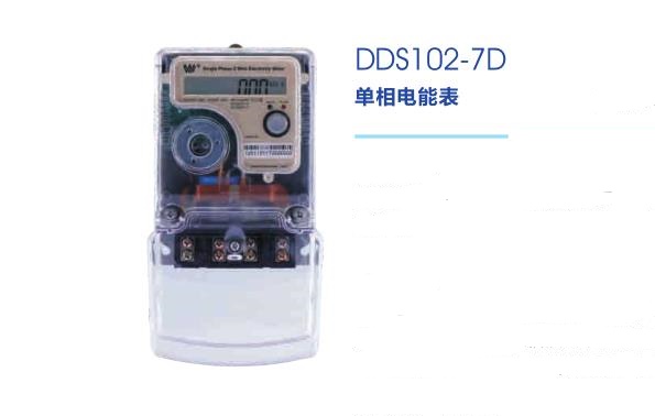
DDS102-7D
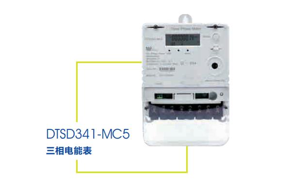
DTSD341-MC...
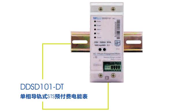
DDSD101-DT
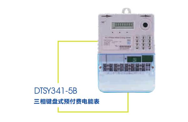
DTSY341-5B
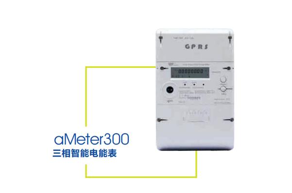
aMeter 300
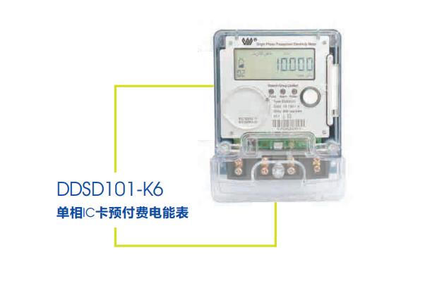
DDSD101-K6
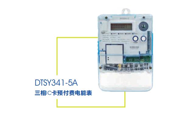
DTSY341-5A
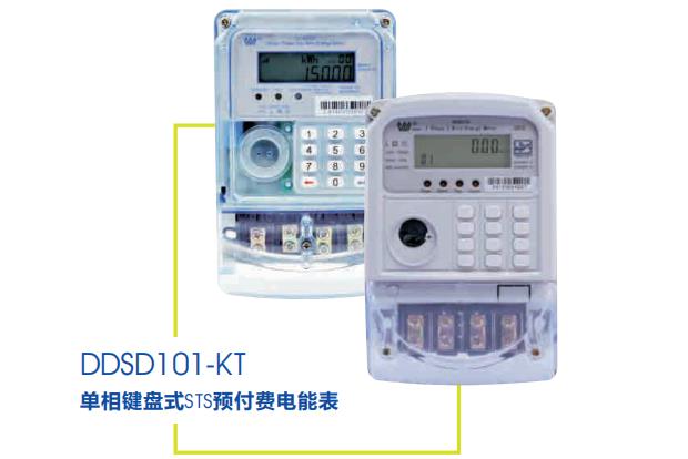
DDSD101-KT
開(kāi)關(guān)柜001
開(kāi)關(guān)柜002
開(kāi)關(guān)柜003
開(kāi)關(guān)柜004
斷路器001
斷路器002
斷路器003
斷路器004
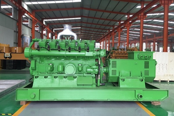
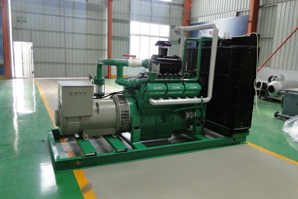
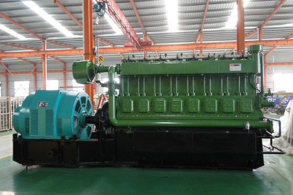
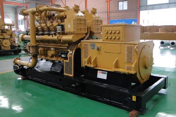
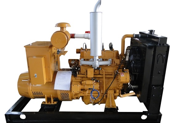
60 KW 發(fā)電...
?70-100 KW...
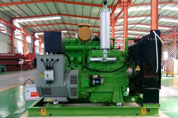
400 KW 發(fā)...
250KW發(fā)電...
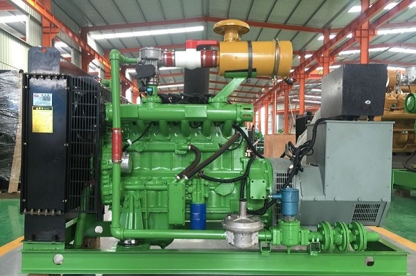
300KW系列...
500 KW 發(fā)...
20-30KW發(fā)...
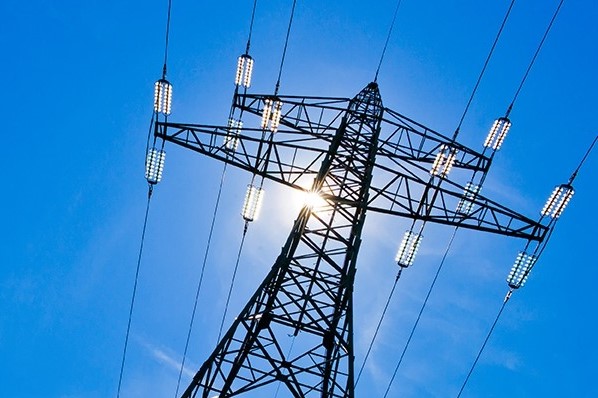
鐵塔001
鐵塔004
鐵塔003
鐵塔002
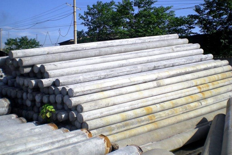
木桿003
木桿002
木桿001
針式絕緣子
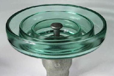
玻璃絕緣子
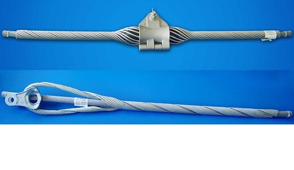
耐張線(xiàn)夾
瓷絕緣子
玻璃絕緣子...
并溝線(xiàn)夾
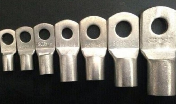
端子
掛板
懸垂線(xiàn)夾
拉線(xiàn)金具
公司地址: 北京市經(jīng)濟(jì)技術(shù)開(kāi)發(fā)區(qū)經(jīng)海二路29號(hào)院6-2-601
企業(yè)郵箱: info@ciccengineering.com
聯(lián)系電話(huà): 010-67670552
公司傳真: 010-67670409
電纜工程
東方網(wǎng)景
版權(quán)所有? 北京中纜陽(yáng)光機(jī)電有限公司 京ICP備10000799號(hào)-1京公網(wǎng)安備11011502004975號(hào)

備圖7.jpg)
備圖5.JPG)
備圖6.JPG)
備圖2.JPG)
備圖4.jpg)


電工程圖6.jpg)
電工程圖4.jpg)
電工程圖5.jpg)
電工程圖2.jpg)
電工程圖3.jpg)
電工程圖1.jpg)


內(nèi)外貿(mào)易圖4.jpg)
內(nèi)外貿(mào)易圖6.JPG)
內(nèi)外貿(mào)易圖3.JPG)
內(nèi)外貿(mào)易圖5.JPG)
內(nèi)外貿(mào)易圖2.JPG)
內(nèi)外貿(mào)易圖1.JPG)
內(nèi)外交流圖4.JPG)
內(nèi)外交流圖2.jpg)
內(nèi)外交流圖6.JPG)
內(nèi)外交流圖1.JPG)
內(nèi)外交流圖5.JPG)
內(nèi)外交流圖3.jpg)


字化儀-1.jpg)
字化儀-2.jpg)
款繪圖儀-1.jpg)
-1.jpg)
-2[1].jpg)
-1.jpg)
-3.jpg)
-4.jpg)


關(guān)柜圖1_看圖王.jpg)
關(guān)柜圖2_看圖王.jpg)
關(guān)柜圖3_看圖王.jpg)
關(guān)柜圖4_看圖王.jpg)


 京公網(wǎng)安備11011502004975號(hào)